Pico de Loro Hike
Pico de Loro has a hiking trail in Maragondon, Cavite. Reggie and I, along with some friends went up the trail yesterday. The others were much faster than us, so we decided to just go at it at our own pace and enjoy the hike.
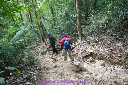
The path seemed to be a dried up river bed, so I think going through this trail during the rainy season would be a muddy, slippery climb. We were lucky that most of the trail is dry and clearly marked.
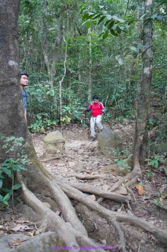
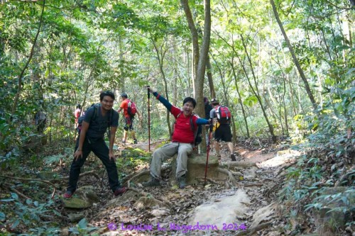
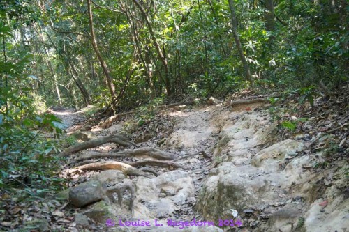
At one point, the trail splits and heads to a quarry. There’s a clearly marked sign when to turn.

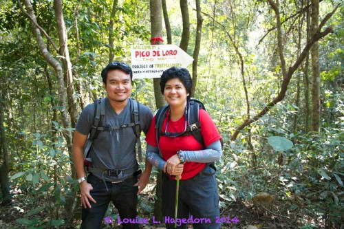
We didn’t go all the way to the summit, as when we reached Base Camp 1, we were told it was going to take another 3 hours. Considering how out of shape we were, we didn’t think it was prudent to go all the way. Instead, we had a leisurely lunch and a siesta before heading back to the jump off point.
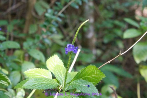
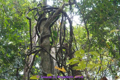
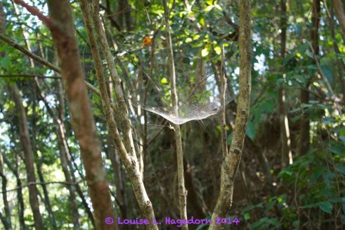
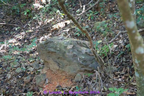
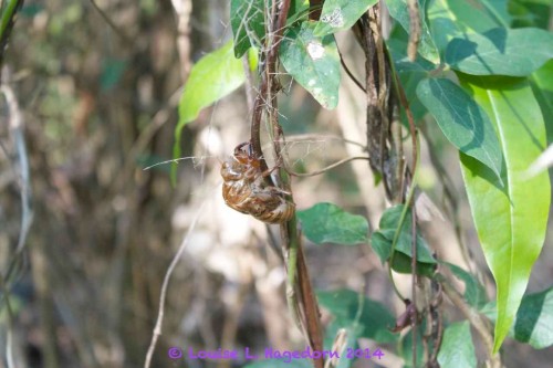
On the way back, we took it leisurely to enjoy what the forest could offer.

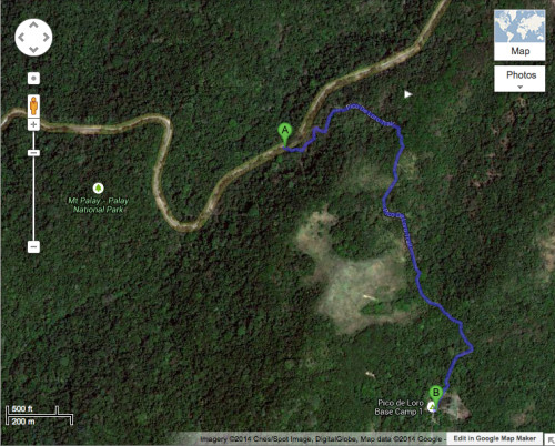
How far did we really go? The trail in blue is where we traveled back and forth.
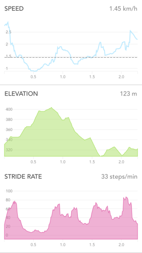
How fast did we go?
Would we go again? Yes, we would. Just to be able to say we reached the summit. Though I’d get another trekking pole, instead of using just one.